A few of our clients

|
|

|

|

|

|
Discover the h2 Difference
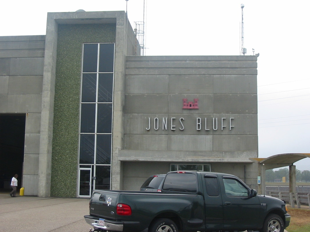
Corps of Engineers


Bridge & Road Construction Projects
SOME OF OUR VARIOUS PROJECTS
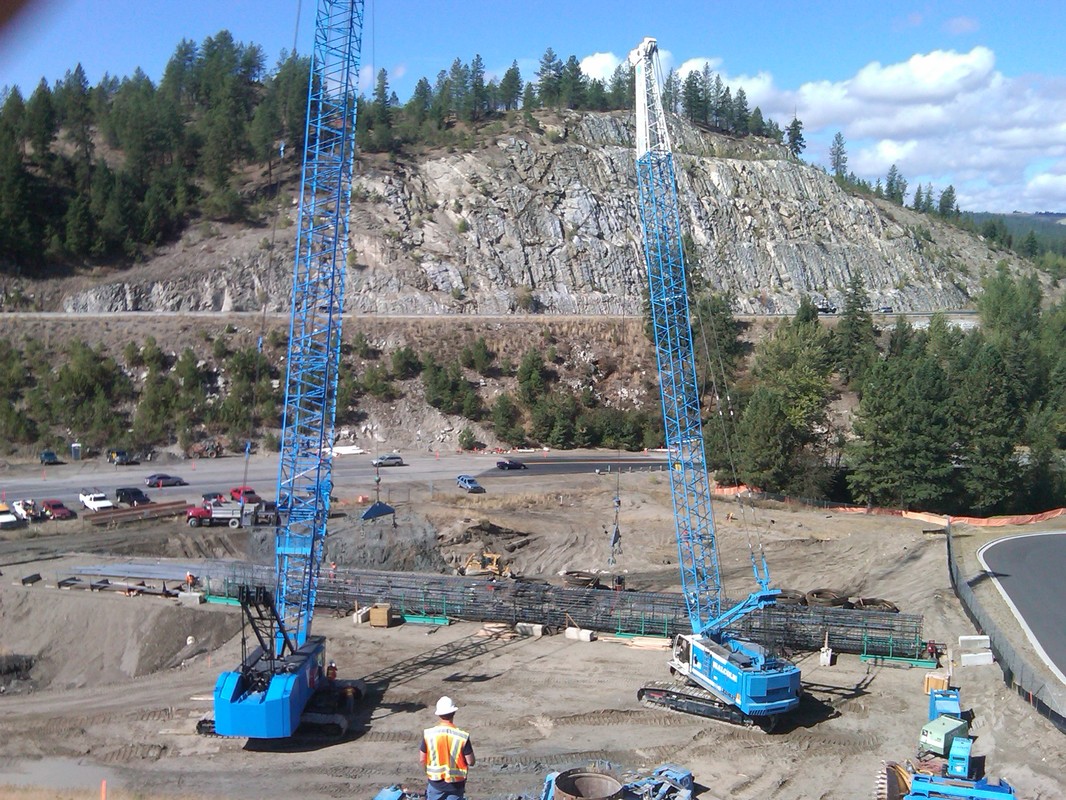
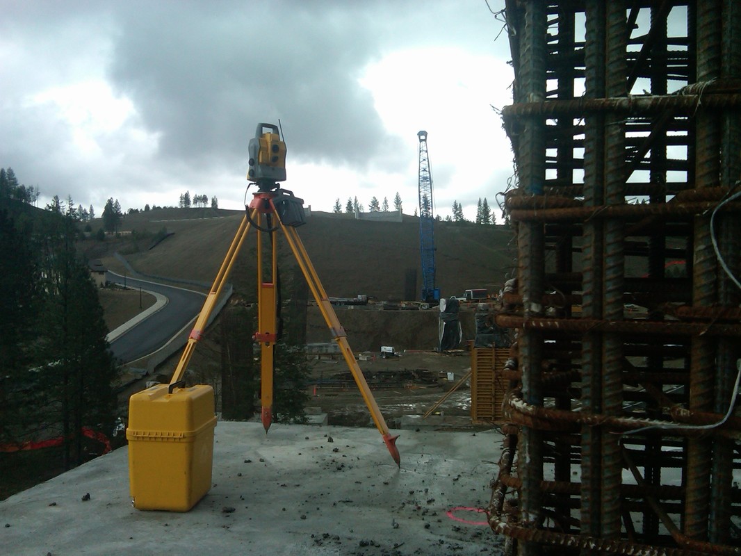
I-90 SNOQUALMIE PASS EAST-HYAK TO KEECHELUS DAM
Max J Kuney Company
King County, WA
Washington Department of Transportation, Federal Highway Administration
WSDOT needed to improve approximately five miles of I-90 between Hyak and Keechelus Dam. Improvements included adding an additional lane in each direction between milepost 55.1 and 59.9, extending chain on and off areas, expanding the snow shed, building new bridges, and adding oversized culverts. WSDOT needed to also improve safety along I-90 by reducing sharp curves, repairing deteriorated pavement, stabilizing unstable slopes, installing avalanche fences, and connecting wildlife habitats over and under the highway.
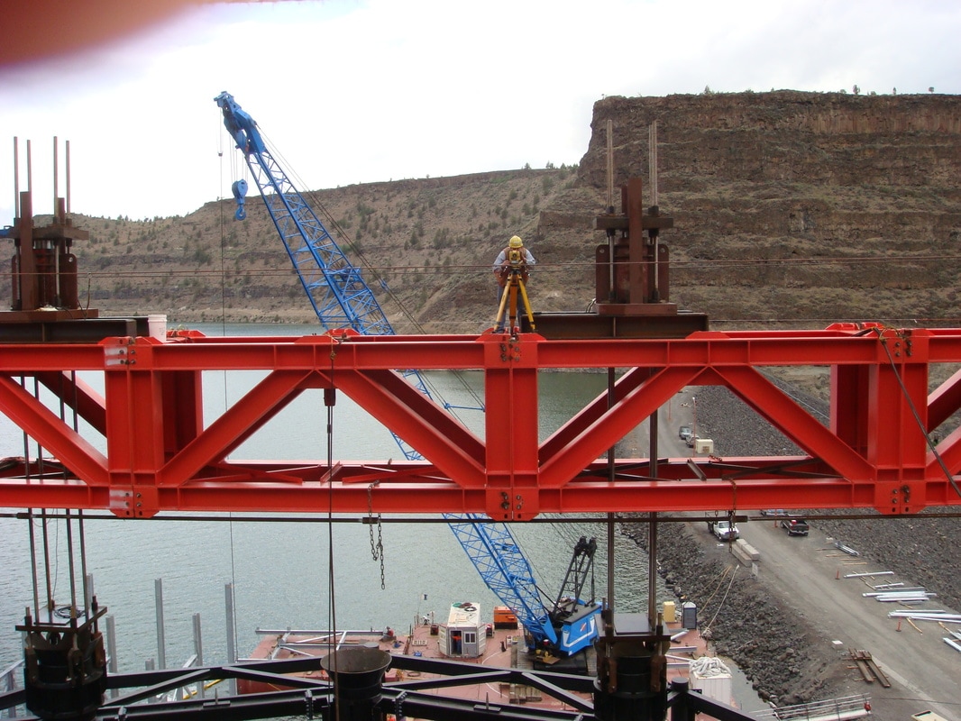
ROUNDE BUTTE DAM
Dix Corporation
Madras, OR
Portland General Electric, Confederated Tribes of Warm Springs
A one of a kind Selective Water Withdrawal System. The system consisted of a 750-ton structure that will be placed on the bottom of Lake Billy Chinook 270 feet below the water surface, a 1500-ton floating top structure that will be used as a fish collection facility.
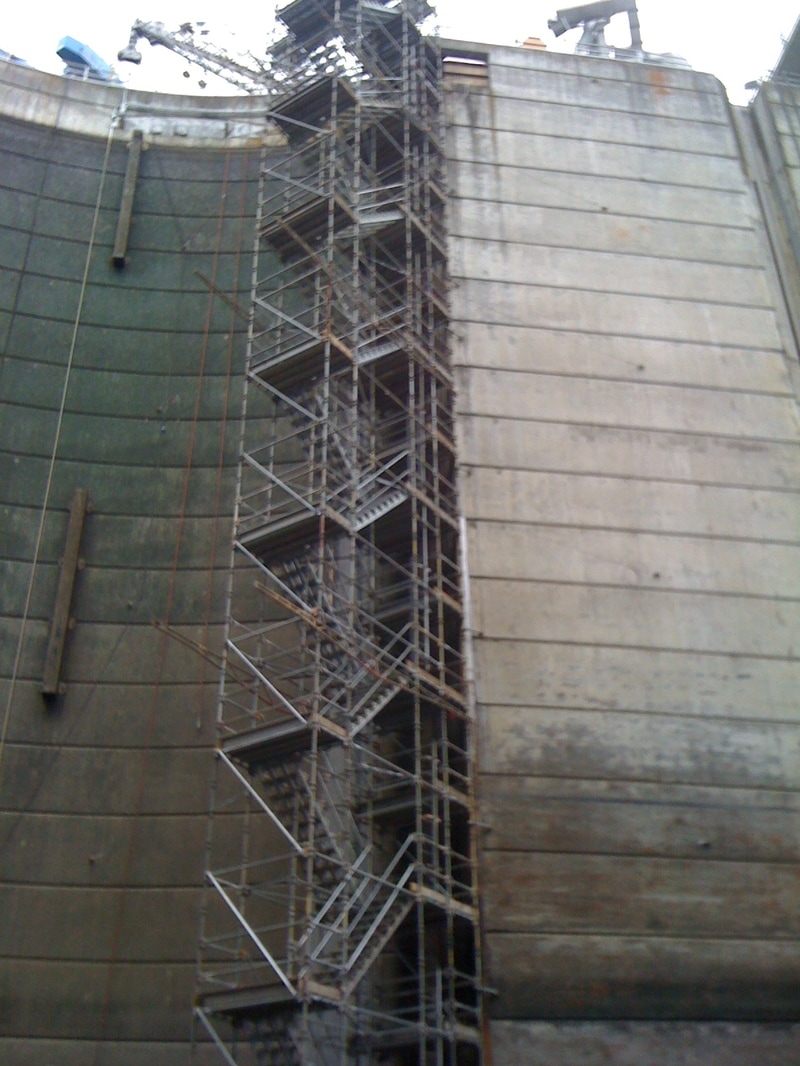
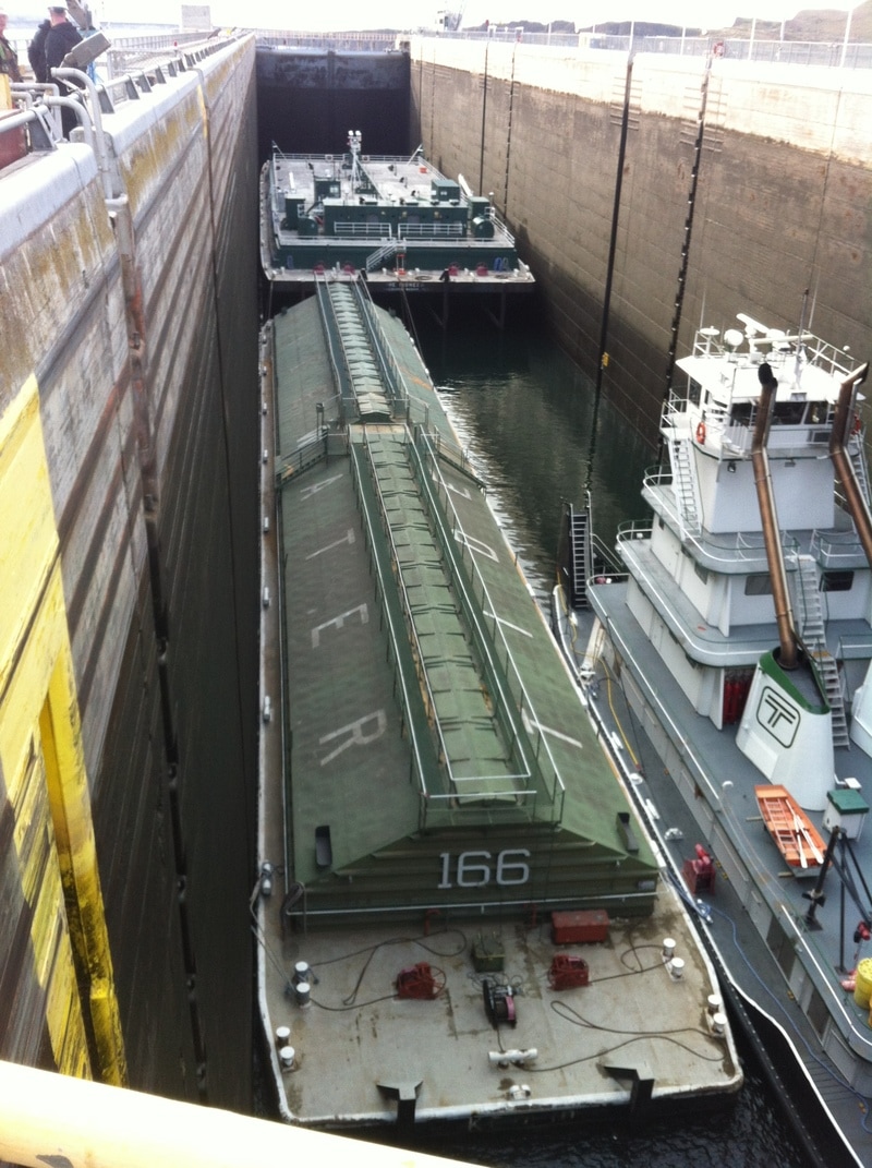
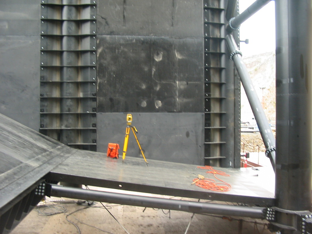
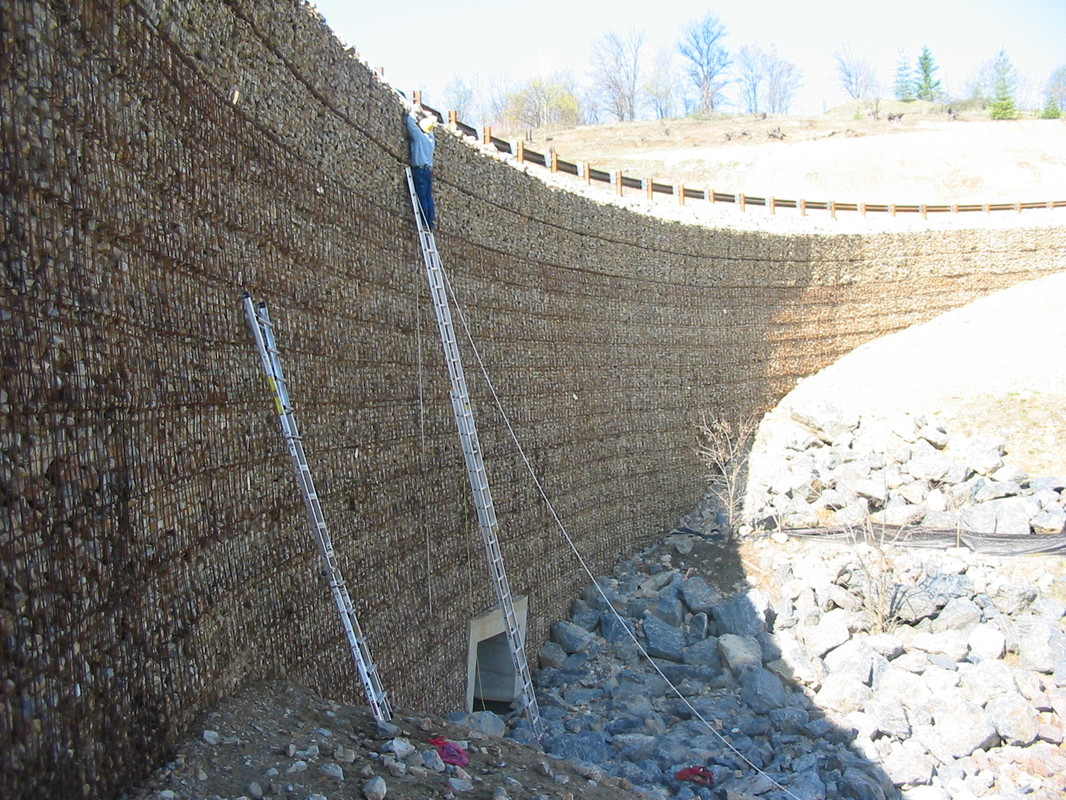
ICE HARBOR REMOVABLE SPILLWAY WEIR
Dix Corporation
Ice Harbor Lock and Dam, WA
Army Corp of Engineers
Located on the Snake River in Washington State for the Corp of Engineers. Ice Harbor Lock and Dam the RSW is a 1,000-ton floating structure that is attached with massive hinges 100 feet under water on the upstream side of spillway No.1 Heath Hartwig performed the survey tasks associated with completion of this project within very strict tolerances.
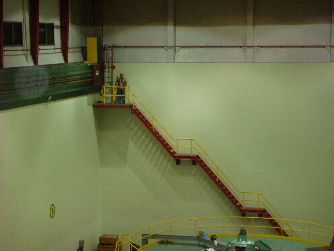
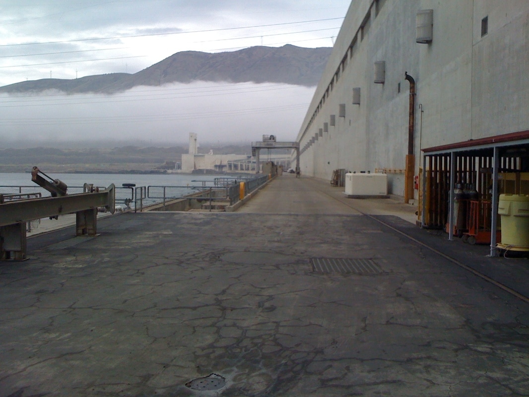
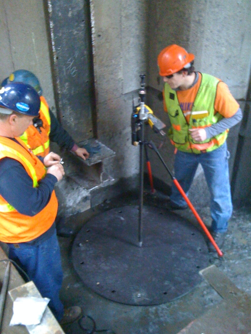
THE DALLES MITRE GATE REPLACEMENT
Dix Corporation
The Dalles, OR
Army Corp of Engineers, Thompson Metal Fabrication
H2 was contracted by Dix Corporation for surveying in order to aid in the installation of the new lock miter gate. The survey plan consists of an as-built of existing gate and the lock floor and walls; layout of new pintle joints, sill plates, and gudgeon pins; as-built of new gate prior to transporting it to the site; and survey aid for final installation. This project specification has a tolerance of 3/16”. The lock and gate as-built requires CIF submittals for review and final approval of installation. During this project we will coordinate with the Army Corp of Engineers, Dix Corporation and Thompson Metal Fabrication.
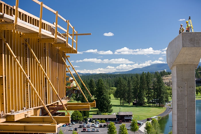
REBUILD WEST END BRIDGE
Advanced American Construction, Inc.
Sandpoint, ID
Burlington Northern Santa Fe
AAC replaced approximately 800 feet of bridge. This work involved driving new steel pile piers, installing new pre-cast pile caps, and setting 17 new bridge spans. All of the construction was performed in a manner that allows BNSF to continue normal train traffic across the bridge.
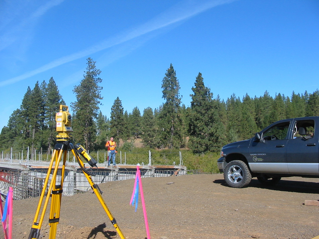
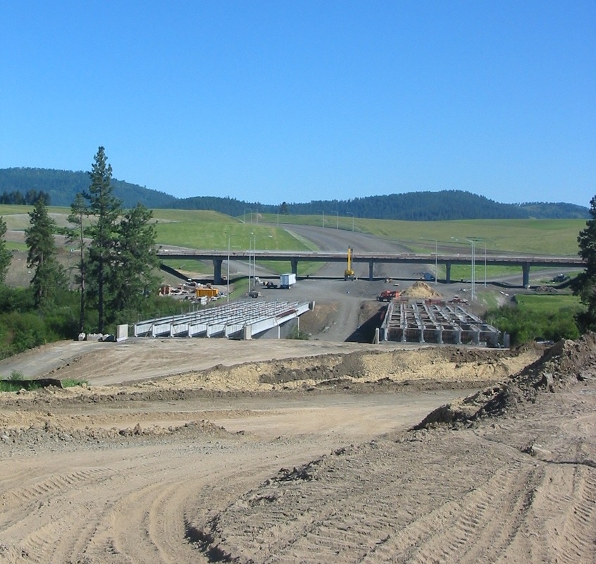
US 2 TO WANDERMERE
Graham Construction Management, Inc.
Spokane, WA
Washington Department of Transportation
This project completed a drivable link between US 2 and Wandermere through the construction of paving and two bridges. The two bridges are over Wandermere Road, the southbound bridge is 975 feet and the northbound bridge is 1,050 feet in length.
US 2, DOVER BRIDGE
Sletten Construction Company
Bonner County, ID
August 2009 – September 2011
Idaho Department Of Transportation
The existing 72-year-old trestle bridge was replaced with a new steel bridge. The new structure is 1,200 feet long and 72 feet wide. Five traffic lanes will accommodate future expansion of U.S. 2.
SPOKANE INTERNATIONAL AIRPORT
Wormer Engineering
Spokane, WA
Spokane International Airport
As-Built Survey of the overhead crane rails before they are removed and after they are re- installed to ensure that they meet CMAA requirements of less than 0.01’ of tolerance.
Wormer Engineering
Spokane, WA
Spokane International Airport
As-Built Survey of the overhead crane rails before they are removed and after they are re- installed to ensure that they meet CMAA requirements of less than 0.01’ of tolerance.
POND 4 PROJECT
Zanetti Bros, Inc.
Lucky Friday Mine, Mullan, ID
Hecla Mining
Performed and provided topographic surveying to support pay quantities on a bi-monthly schedule. h2 generates surfaces from these field surveys to calculate past two week differences in quantity measurements. We also provided project control and staking necessary to construct per project design, and generate 3D models for client.
EPHRATA AIRPORT
Reid Middleton
Ephrata, WA
Aero Metrics, Port of Ephrata
Topographic survey to assist in the design and re-alignment of 3 runways.
Reid Middleton
Ephrata, WA
Aero Metrics, Port of Ephrata
Topographic survey to assist in the design and re-alignment of 3 runways.
PORT OF PASCO
HDR
Pasco, WA
HDR, Port of Pasco
Topographic survey to assist in the design and re-alignment rail road improvements.
HDR
Pasco, WA
HDR, Port of Pasco
Topographic survey to assist in the design and re-alignment rail road improvements.
LOLO CREEK
HDR Engineering
Nez Perce County, ID
Nez Perce County, and Nez Perce Indian Tribe
This purpose of this project was to perform a topographic survey of approximately 1,600 feet of the Lolo Creek, in Nez Perce County, ID. To complete this project we had to locate several USPLS corners, establish vertical control on the NAVD 88 datum along with cross sections of the creek and adjacent banks every 25 feet. During this project we had to coordinate with Nez Perce County, HDR Engineering and the Nez Perce Indian Tribe.
CELLULAR SITE PROJECTS
Verizon Wireless, AT&T Wireless,
Cingular Wireless, Nextel, Crown Castle
Western United States
Geoline, Bock & Clark, Proland
Topographic and Boundary Surveys on both raw land and co-locate lease areas. H2 also prepared 1A and 2C letters to submit to the FAA along with the required legal descriptions for the lease areas.
HAYDEN LAKE COUNTRY CLUB
Hayden Lake Country Club (HLCC)
Hayden, ID
G.D. Longwell Architects,Coleman Engineering
Topographic survey to serve as a base map for the improvements that will take place at HLCC
in the future.
Hayden Lake Country Club (HLCC)
Hayden, ID
G.D. Longwell Architects,Coleman Engineering
Topographic survey to serve as a base map for the improvements that will take place at HLCC
in the future.
HOUCK BOUNDARY SURVEY
Judy Houck
Worley, ID
Kootenai County, Coeur D Alene Tribe of Indians, and the Bureau of Indian Affairs
The purpose of this project was to perform a boundary survey of section of land in Kootenai County on the Coeur D Alene Indian Reservation. To complete the project we had to locate the USPLS corners on the section that our project was located in along with corners in 2 adjacent sections. These corners were used to calculate the boundary of our clients property and subdivide it according to percentage of ownership. During this project we had to coordinate with Kootenai County, Coeur D Alene Tribe of Indians, and the Bureau of Indian Affairs.
TRI-PRO CEDAR PRODUCTS
Tri-Pro Cedar Products
Oldtown, ID
Idaho Department of Lands, Union Pacific Rail Road, Bonner County, City of Oldtown, Idaho Department of Transportation,
Sewell and Associates, Avista Utilities
Boundary Line Adjustment and an ALTA Survey on a 280 acre mill site.
Tri-Pro Cedar Products
Oldtown, ID
Idaho Department of Lands, Union Pacific Rail Road, Bonner County, City of Oldtown, Idaho Department of Transportation,
Sewell and Associates, Avista Utilities
Boundary Line Adjustment and an ALTA Survey on a 280 acre mill site.
AEHI BOUNDARY SURVEY
Alternate Energy Holdings, Inc.
Payette County
This contract required a boundary (cadastral) survey of 17 sections of land in Payette County, ID. This property is the future site of AEHI’s nuclear power plant. The property retracements required recovering monuments set by the GLO. As there was no previous survey work completed since the original survey had been done. The research, survey note reduction, monument recovery and perpetuation forms, and record of survey are all of the tasks outlined in the contract. The delineation of county roads and state highways also were a large part of the boundary survey. The additional survey tasks are re-zone exhibits and acreages, line stakes along boundary and topographic surveys for site design.
McCOY GRAIN TERMINAL FACILITY
HDR Engineering, Inc.
Whitmen County, WA
Whitman County, Washington Department of Transportation and Washington and Idaho Railway Inc.
The purpose of this project was to perform a boundary and topographic survey located within multiple sections for the future site of a rail road loop track and grain silo, in Whitman County, WA. To complete this project we had to locate the USPLS corners to calculate several boundary lines along with the determination of the rail road and highway right of ways. During this project we had to coordinate with Whitman County, HDR Engineering, Washington Department of Transportation and Washington and Idaho Railway Inc.
HEINEMANN SHORT PLAT
Whitmen County, WA
Whitman County, Washington Department of Transportation and Washington and Idaho Railway Inc.
The purpose of this project was to perform and complete 3 new parcels of land.
Whitmen County, WA
Whitman County, Washington Department of Transportation and Washington and Idaho Railway Inc.
The purpose of this project was to perform and complete 3 new parcels of land.
WOODWARD SHORT PLAT
Whitmen County, WA
Whitman County, Washington Department of Transportation and Washington and Idaho Railway Inc.
The purpose of this project was to perform and complete 3 new parcels of land.
Whitmen County, WA
Whitman County, Washington Department of Transportation and Washington and Idaho Railway Inc.
The purpose of this project was to perform and complete 3 new parcels of land.
FORT LAWTON BOUNDARY SURVEY
Brannan Land Surveying
King County, WA
King County, Veterans Administration, and the Army Corp. of Engineers
The purpose of this project was to perform a boundary survey and topographic survey of the Fort Lawton, a 100 year old military base in King County, WA. To complete this project we had to survey multiple sections and resolve many adjoining boundary conflict. The end result of the project, we set exterior boundary corners at Fort Lawton, we set monuments for a newly created parcel for the Veterans Administration, and we created several legal descriptions. During the project we had to coordinate with the King County, the Veterans Administration, and the Army Corp. of Engineers.
FERNAN LAKE ROAD
MA Deatley Construction, Inc.
Coeur d’Alene, ID
Harcon, Inc., U.S. Department of Transportation, Allwest,
ABCO Recycling
A 13-mile road improvement project will widen and re-align a dangerous stretch of road along Fernan Lake.
MA Deatley Construction, Inc.
Coeur d’Alene, ID
Harcon, Inc., U.S. Department of Transportation, Allwest,
ABCO Recycling
A 13-mile road improvement project will widen and re-align a dangerous stretch of road along Fernan Lake.
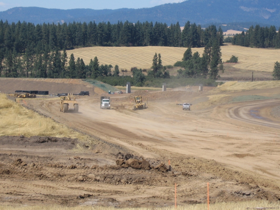
US 95 - WYOMING AVENUE TO JCT OF IDAHO 53
Interstate Concrete and Asphalt
Kootenai County, ID
Idaho Department of Transportation
The project widened a two-lane section of U.S. 95, between Wyoming Avenue and the Idaho 53 junction to connect with four-lane segments on both sides. Widening the small segment of highway created four continuous lanes from Coeur d'Alene to north of Garwood.
US 95 WORLEY NORTH
MA Deatley Construction, Inc.
Worley, ID
Coeur d’Alene Tribe of Indians, Idaho Transportation Department, Connecting Idaho Partners, Graham Construction and Management, Inc.
4 mile re-alignment of US 95 and 1 mile of US Highway 58 with the associated ramps, and the construction of 4 multiple span bridges, 1 box culvert and 1 barrier wall.
PANGBORN MEMORIAL AIRPORT
Colvico Inc
Kootenai County, ID
Colvico, Port of Chelan County, Port of Douglas County
Runway lighting and signage improvements.
Colvico Inc
Kootenai County, ID
Colvico, Port of Chelan County, Port of Douglas County
Runway lighting and signage improvements.
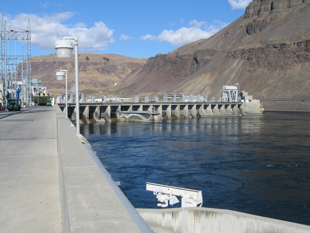
DALLES DAM
Dix Corporation
Assisted in replacing the down stream gates on the lock.
Dix Corporation
Assisted in replacing the down stream gates on the lock.
McNARY DAM
Industrial Support Services
Crane improvements on Dam.
Industrial Support Services
Crane improvements on Dam.
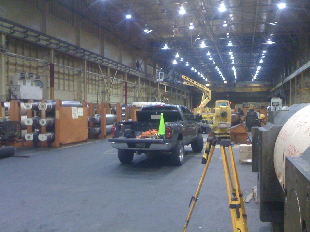
CRANE RAIL SURVEYS
Various
The Inland Northwest and Southern States
Ongoing
Army Corp of Engineers, Dix Corporation,
Kaiser Aluminum
As-Built Survey of the overhead crane rails before they are removed and after they are re- installed to ensure that they meet CMAA requirements of less than 0.01’ of tolerance.
Various
The Inland Northwest and Southern States
Ongoing
Army Corp of Engineers, Dix Corporation,
Kaiser Aluminum
As-Built Survey of the overhead crane rails before they are removed and after they are re- installed to ensure that they meet CMAA requirements of less than 0.01’ of tolerance.